The Scarymander Series: Part 1
A brief history of gerrymanders


Halloween is sixth months away as of yesterday, so I think it is a perfect time to share a truly scary vision of how gerrymandered districts might look when we reach the 2032 cycle. This will be approximately 3 parts and go over what gerrymandering is like today, and will be like in the future. Gerrymandering is a complicated topic in political science for a lot of reasons, so I will be forced to leave out a lot of nuance but I hope to summarize as best as possible.
A lot of people are already very critical of gerrymandering for various reasons. For me a main driver is that in 2012 Democrats won the popular House vote, but lost the House due primarily to gerrymandering. This had meaningful impacts on our country’s future and is important to consider. However, most people don’t know how maps are actually drawn or why maps favored Republicans so heavily in the past.
The quick version is that the GOP made a big push for state houses in 2010 hoping to gerrymander state legislatures and Congressional seats to keep themselves in power indefinitely. State legislatures get to draw the lines for their own seats as well Congressional ones, which means that they could ride a wave election like 2010 into years of success even with less votes than their opponents. The goal is inherently anti-majoritarian as the strategy allows Republicans to win control over a majority of state governments, Congressional seats and Senate seats while winning a minority of the votes.

Obviously, this effort is an existential threat to popular governance in the United States. Therefore it worth looking into the nuts and bolts of this process. Republicans were buoyed by the development of REDMAP, a software designed to help with knowing exactly how partisan voters were on a house by house level across the state. This allowed them to have instant and precise knowledge of how changes in districts might affect potential elections. While these maps were still drawn by people, they were heavily assisted by computers that could make sure there was no guesswork involved. These legislators can use the technology to draw what ever lines they wish.
However, these lines are not perfect. For them to work perfectly you do need to be able accurately prognosticate about the next decade, which is quite a long time when it comes political predictions. For instance, in the last few elections Republicans did worse than expected in the suburbs leading to the efficiency gap closing nationwide to only a few seats.
A natural question that comes up on this topic is why this is even allowed. Therefore it worth going over what rules govern districts. Firstly, districts must have roughly equivalent numbers of people. One Supreme Court decision which covered this was Wesberry v. Sanders in which the Warren court ruled that in order to have “one person, one vote“ districts are required to be as equivalent as is practicable.
Secondly, the 1965 Voting Rights Act (VRA) put in place several restrictions based on ensuring racial equity. To oversimplify this somewhat, it generally requires that racial minority districts be drawn when possible and outlaws maps in which the cartographers were explicitly trying to discriminate on the basis of race. Even this rule is potentially in jeopardy. In a 2013 decision the Supreme Court weakened the voting rights act, and last Fall they took on a case that might allow them to strike down the VRA’s rules on redistricting entirely.
That’s it! There are essentially no other federal rules on district drawing. They can even be noncontiguous should the state want to draw them that way (although this is illegal in 34 states). States can decide if they want to have other rules regarding this, such as Colorado’s nonpartisan commission and constitutional rules governing district drawing. However, that is entirely optional and decided on a state by state basis and is largely absent in the most important Republican controlled states.

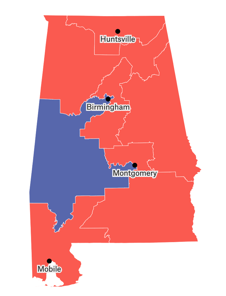
Gerrymandering has been a part of American history since essentially the beginning. Today many districts are drawn very ugly to comply with the rules or to give the party in power over the state legislature more power. For instance, consider the infamous ‘Latin Earmuffs‘ shown above. These are drawn to ensure Latinos in Chicago are able to elect a Latino representative. On the other hand, many maps I have shown throughout this post are solely drawn for partisan advantage.

So that’s where we are. Stuck in a world where state legislatures can do essentially whatever they want. Of course some state legislatures have less overtly terrible systems, such as California’s nonpartisan redistricting commission. However, this is a copout. If California gerrymandered its districts we would have won the house and could work on passing legislation rather than fighting a potentially disastrous battle of the debt ceiling. The solution cannot be to let Republicans walk on Democrats in hopes they will change their mind on morality.
Unfortunately, I think there are reasons to believe this will get much worse before it gets better. In my next blog post I will go over the truly terrifying technologies that will change the way we gerrymander in 2032. After that I will cover what if anything we can do. If you have any questions let me know and I’ll try to include answers in the followups to this series.